Cat No.: AU7009:
Media: DATA CD - 1 CD (4 maps)
Year: (1913)
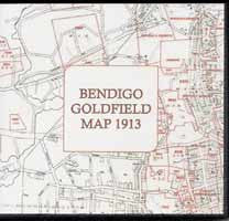
This consists of 4 separate maps joined here to make one large complete reference map - 0.71 metres wide x 2.35 metres high at a scale of 8 chains to one inch.
It was "issued by W. Dickson, Secretary for Mines" 24 May 1913.
It shows the goldfields in red over a detailed base map of roads, allotments and other topographical features.
No. of CDs is: 1 ; Format is: PDF ; Searchable?: NO;
FastFind: No; ISBN No.: 9781921461545;


