Cat No.: AU5005:
No of pages in original: 355pp
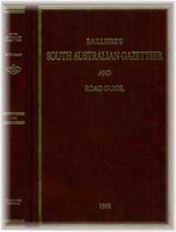
This gazetteer and road guide contains the following comprehensive information for South Australia in 1866:
~ The most recent and accurate information (at publication date) as to every township, village, hamlet, river, creek, mountain, lake, gold field, road and railway in South Australia with its botanical, geological, and physical features.
~ The division of the colony into counties, and electoral, council, pastoral , and municipal districts and hundreds with their boundaries and statistics.
~ The names, areas, occupiers, positions, rentals, new valuations and grazing capabilities of the squatting stations with the best means of reaching them.
~ Also, particulars of the coast survey, statistics of the ports, manufactures, and agricultural, pastoral, and mining pursuits, census of dwellings and population , areas in acreage and miles and comprehensive and correct electoral, municipal, district council and police information.
~ Also a complete road itinerary, showing the easiest, most expeditious, and cheapest method of transit and conveyance of goods to and from every place in the colony by rail, coach, boat, dray or horse.
A great tool for researching places throughout the whole of Australia in the 19th century.
No. of CDs is: 1 ; Format is: PDF ; Searchable?: YES;
FastFind: Yes; ISBN No.: 9781921081491;


