
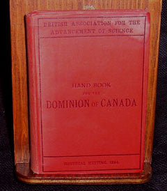
The Hand Book for the Dominion of Canada, originally published in 1884
Cat No.: CA0028:
Originally published as a guide book for members of the British Association for the Advancement of Science who were attending the associations meeting in Montreal in 1884. There are 31 pages of advertising for hotels, travel and insurance companies, and anybody who thought the visitors might be persuaded to shop with them.A great prize to railway enthusiasts will be the 3 fold out maps showing the railway routes across Canada and the upper portions of the USA.
There is a further pull out map showing the geological features around Montreal.
The book is a mine of information about the Canada of that period organized into what today would be “info-bites” and “factoids.” Topics discussed range as widely as politics and geology, music and the cost of public works. There is a lot of attention paid to means of transport and in particular to the railway system. There are sightseeing guides for most of the major transportation routes from the west coast to as far inland as Toronto. While there is a mention of Manitoba and British Columbia the majority of the book is dedicated to the areas from the Maritimes to the western boundaries of Ontario.
No. of CDs is: 1 ; Format is: PDF ; Searchable?: YES;
FastFind: No; ISBN No.: 1-897338-05-8;